The overarching problem: Third Sector data
The Third Sector has a pretty big problem when it comes to data — something we at SoGood have first-hand experience of on a regular basis. Finding reliable and actionable data can be a significant challenge. And it can often prove a struggle to the precise information we’re looking for. It’s hardly surprising — busy charity organisations are often overstretched and under-resourced, making it difficult to keep data organised and up to date.
The research institute Pro Bono Economics has released several papers in the last couple of years digging into some of the problems inherent in data capture for social sector organisations. If you work in the sector, their findings probably won’t come as much of a surprise.
The reports (including What’s missing? Evaluating social sector data gaps and Better Data, Bigger Impact) describe data that’s fragmented, produced in formats that are inaccessible or almost impossible to analyse, and sometimes 18-24 months old by the time it’s published.
Understandably, everyone who is collecting data is asking different questions. Charities and organisations become segmented in different ways and data is stored in different formats, meaning it can exist in multiple disconnected silos.
Charities are seeking to survive – and ideally thrive – in a data-rich world where the collection and analysis of data is simply the norm and something that impacts every facet of an organisation. A cursory look at the level of data collection and analysis at play in the private sector is a stark reminder of how far the Third Sector has to come.
SoGood’s work around improving Third Sector data
Given our core focus on improving Third Sector efficiency, it’s no surprise that the topic of data is central to our work. Our goal is to affect real improvement on the capture and presentation of data in the charity sector. This can be summed up by four key pillars:
Improving the quality of data capture and storage
Creating a consistent taxonomy that helps analytics – and makes data more actionable (see our SoGood Lens)
Cutting through the noise to surface useable data and make it very accessible for those who need it
Building intelligence and predictive analytics into data to further improve efficiencies in the sector
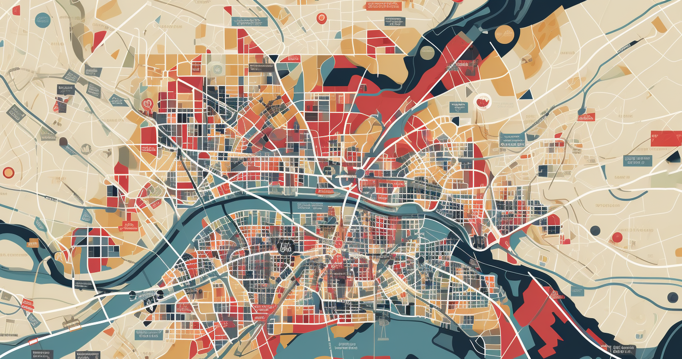
Charity mapping in the UK
One dataset we view as a clear area where we can have an impact – and which aligns with pillars 1 and 2 – is mapping UK charities themselves. According to our research, there’s currently no high-quality, exhaustive, centralised online tool making it possible to view all the local charity access points by purpose in a specific area across the country.

Pre-existing solutions
There are several examples of mapping tools from specific charities. The Trussell Trust Food Bank Finder is an online tool provided by the Trussell Trust to help individuals in need locate and access their nearest food bank by entering their postcode or location. This finder offers information about nearby food banks, their operating hours, and how to get in touch for support – but it’s limited to Trussell Trust services only. No other food banks are included in the finder.
Then there are attempts at holistic, all-encompassing charity maps, such as this one from Giving is Great. But this lists distinct charities that have their headquarters in a community rather than a comprehensive list of all the different charity branches in the area. It also offers more of a fact sheet about the charity without providing actionable information on how to actually get involved – either as a service user or a volunteer.
Broadly speaking, there’s room for improvement when it comes to supply (Third Sector organisations) communicating opportunities to the demand (those in need or looking to volunteer).
The problems this creates
The lack of a more comprehensive map affects stakeholders across the board.
- The people who are in most need of help and support from charities such as food banks, age care or homeless charities aren’t easily able to quickly find and locate the help that can have a direct and tangible impact on their lives.
- The people who are eager and willing to support or volunteer in their communities with local charities aren’t able to easily see what options are available to them in their area. And where, for example, they can actually turn up on the day and make a difference.
- Third Sector organisations are less able to identify other charities in their area – making it more challenging to organise, coordinate and work together on specific projects and initiatives. Collaboration is tricky when charities work in silos.
There are a couple of reasons why data-sharing projects between charities haven’t happened at this scale, including a lack of resources or funding, less of a tendency towards a commercial vision (especially when compared to the private sector) and a need to improve digital know-how and experience.
Our solution: The SoGood Charity Mapper
To solve this problem, we’re attempting something audacious: building a Charity Mapper for the entire country. This means embarking on a data capture project covering every UK-registered charity and overlaying their geographical access points.
That’s a lot of locations. Sue Ryder, for example, has over 400 charity shops across the UK; Trussell Trust has more than 1300 food banks. Many charities have multiple sites and they’ll all need to be made easily visible on our map. In all, we estimate the number of charity access points across the UK will easily exceed 1 million — a huge amount of data that will be made readily available in one place, we believe, for the first time via a single easy to use online tool.
Making it user-friendly
SoGood’s Charity Mapper will be searchable by geography and category. Our SoGood Lens article introduced our new segmentation model that makes it far simpler to define the different types of charities: whether it’s a destitution charity (e.g. food, shelter, clothing or energy) or a social charity (e.g. sport, animals or environment).
These distinctions will enhance how the Mapper functions intuitively, making it simple for users to find and access the exact type of organisation they’re looking for.
Fairer funding distribution
We believe our work will also yield far-reaching consequences that ultimately improve the financial environment for Third Sector Organisations. For instance, in our article introducing the SoGood Lens, we stated that roughly “50% of UK charities exist on 1% of the total funding available” based on the size of the organisations. Our work with the Charity Mapper further highlights the funding imbalance between types of charities. Our work will highlight where specific needs are under-supported financially, helping government bodies, trusts, foundations and individual donors to make better-informed decisions.
Coming soon
This level of data capture is a huge task. We’ve made a positive start and expect to have a usable first version by the end of March 2024.
To learn more about SoGood’s work and the development of this project, please get in touch.